Living in San Bruno: A Guide to Neighborhoods, Parks & Commutes
February 19, 2026
February 19, 2026
What if you could have a neighborhood with room to breathe, weekend trails five minutes away, and an easy hop to San Francisco or Silicon Valley? In San Bruno, that balance is real. You get hillside streets with mid‑century homes, a walkable downtown, and quick access to BART, Caltrain, and SFO. In this guide, you’ll learn where to live, how to get around, and what to expect from parks, schools, and prices so you can decide if San Bruno fits your goals. Let’s dive in.
San Bruno sits just south of San Francisco and next to SFO, which makes daily life and travel convenient. The city covers about 5.5 square miles and is home to roughly 42,000 residents. For a quick civic snapshot, see the city’s overview on Wikipedia.
Commute times here are competitive for the Bay Area. According to federal estimates, the average travel time to work is under 25 minutes, reflecting strong transit access and proximity to job centers. You can review the data on Census QuickFacts.
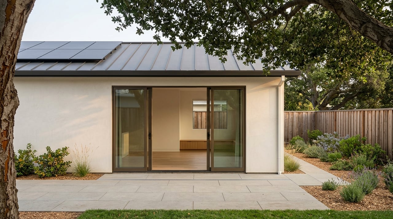
Typical home values trend in the low to mid seven figures in early 2026. Neighborhood medians vary, especially between single‑family homes and condos. Inventory is limited compared with demand, which is common on the Peninsula.
San Bruno’s neighborhoods offer distinct tradeoffs: walkability near transit, quieter hillside streets with yards, or newer townhome and condo communities. Here’s how to navigate them.
Downtown clusters along San Mateo Avenue with small restaurants, cafes, and local services. It is also the most walkable pocket and sits close to the San Bruno Caltrain station, which is helpful if you commute along the Peninsula. Check the Caltrain station page for service patterns.
Housing near downtown ranges from older cottages and smaller single‑family homes to nearby multifamily buildings. Inventory tends to be limited, so buyers who want a short train walk often watch closely for new listings.
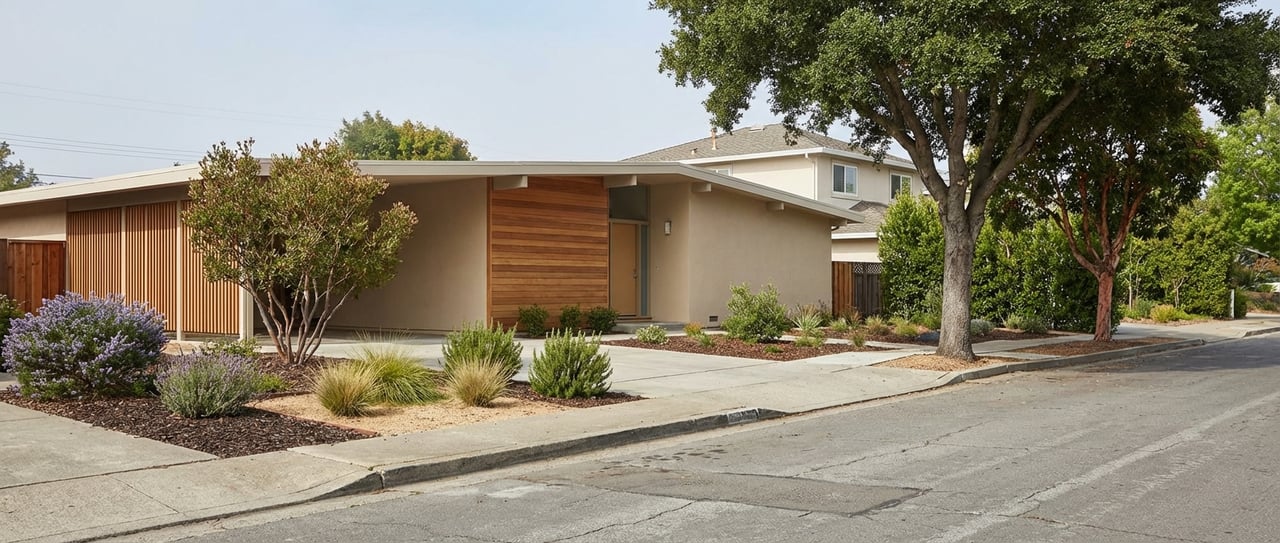
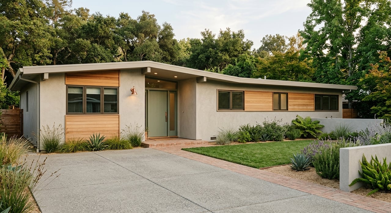
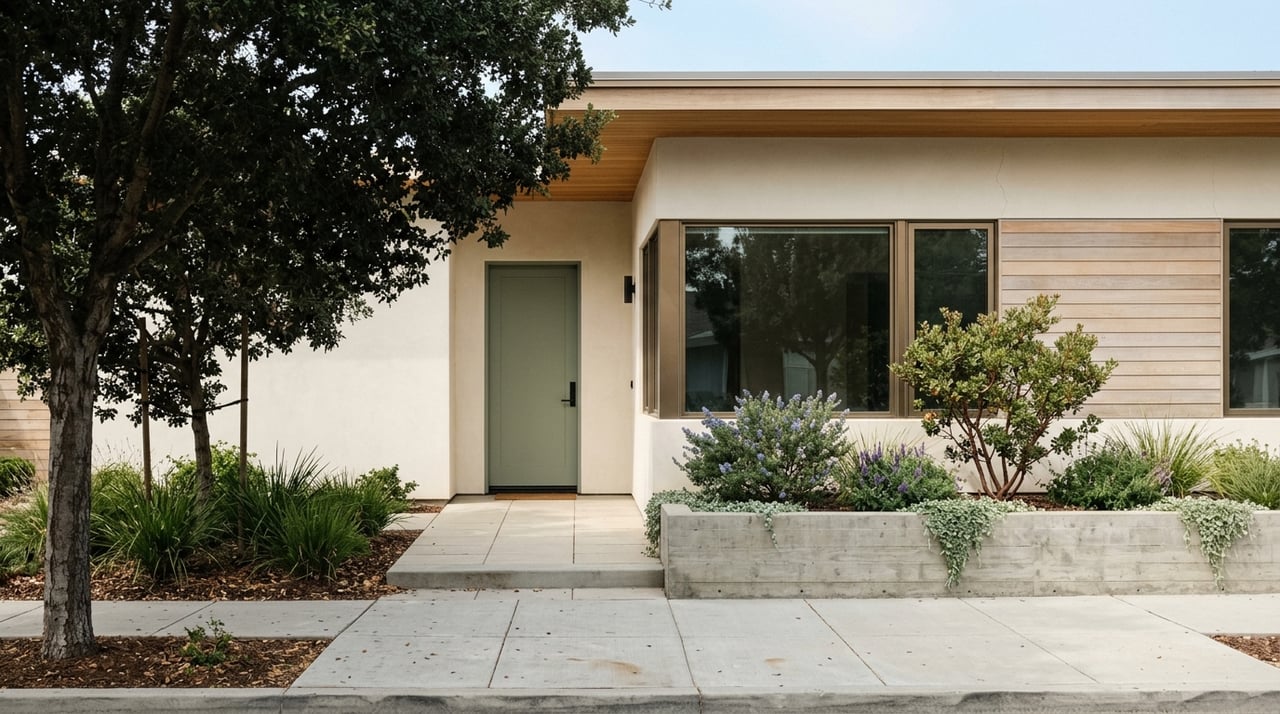
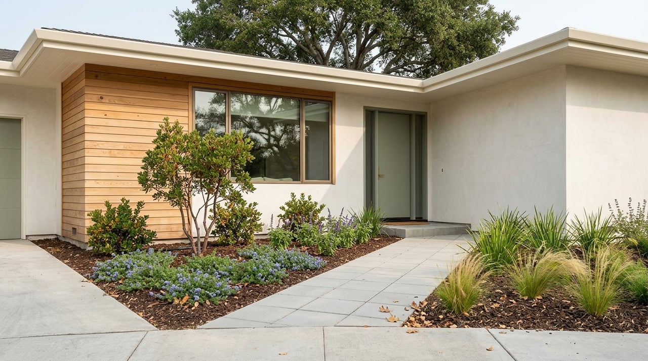
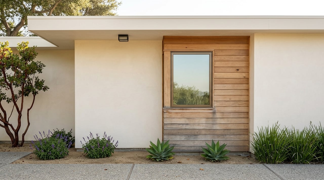
On the western, hilly side, Rollingwood and Portola Highlands feature mid‑century ranch and post‑war homes, many with mature yards and some with Bay or hillside outlooks on the higher streets. These pockets often attract buyers who value space, garages, and quieter streets.
Crestmoor mixes winding residential streets and mid‑century homes with notable condo communities, including Shelter Creek. You’ll find options from one‑bedroom condos to larger three and four bedroom single‑family homes. Prices swing widely here by property type, so compare condos and single‑family sales separately.
The Crossings and similar infill communities provide townhomes and condos that can serve as more entry‑level options in 94066. These homes often show lower list prices than single‑family houses, paired with smaller footprints and shared amenities.
Outdoor time is easy here, from tot lots to ridge hikes with Bay views.
San Bruno maintains about 19 municipal parks, including San Bruno City Park, Posy Park, Fleetwood Park, and Belle Air Park. These offer playgrounds, sports fields, picnic areas, and neighborhood greens. Browse the full list on the city’s parks directory.
San Bruno Mountain State and County Park sits just south of the city and delivers broad Bay views, spring wildflowers, and protected habitat for rare butterflies. It is a standout destination for weekend hikes. Learn more from Bay Nature’s overview.
Junipero Serra County Park is another nearby favorite, with family-friendly trails and picnic areas overlooking the hills. Read a quick summary on Wikipedia. You can also explore Sweeney Ridge and Milagra Ridge for longer Golden Gate National Recreation Area loops.
Daily errands and dining are close at hand, with notable changes on the horizon.
San Mateo Avenue forms San Bruno’s small downtown spine. Plan an easy loop: coffee, a few local shops, then a pause at Posy Park or the library. The city promotes this area as a walkable hub, and it pairs well with Caltrain access.
El Camino Real is the main retail corridor. The former Tanforan mall site, adjacent to BART, is in active reuse planning. Proposals have highlighted a life sciences focused mixed-use district with office or lab space and housing, potentially reshaping the area over time. For background, see the city’s Reimagining Tanforan page and a community progress summary on the project site’s priorities report. Timelines are multi-year, so treat this as a long-term change to watch.
San Bruno’s location puts you near multiple rail lines, bus routes, and two freeways.
The San Bruno BART station sits by Tanforan and connects directly to downtown San Francisco, SFO, and Millbrae. For maps and frequencies, use the official BART station page. Living within walking or biking distance can simplify daily commutes.
The San Bruno Caltrain station is just northeast of downtown and serves riders heading to South San Francisco, Redwood City, Palo Alto, and San Jose. Schedules vary by time of day, so check the Caltrain station page for current service.
SamTrans runs the ECR along El Camino Real for frequent local trips and has introduced express options that link San Bruno BART with Redwood City and downtown San Francisco. For route updates and trip planning, start with this SamTrans service overview.
San Bruno sits between US‑101 and I‑280, which makes driving to San Francisco, the Peninsula, and Silicon Valley straightforward. Traffic varies by peak window, so test your route at typical commute times.
SFO is next door, which is a time-saver for frequent flyers. BART and SamTrans connect to the terminals, and off-peak drives can be short. If airplane noise is a concern, review flight paths and confirm block-level conditions when you tour homes.
Here are the basics so you can plan with confidence.
Elementary grades are served by the San Bruno Park School District, and high school students attend schools in the San Mateo Union High School District, including Capuchino High School. Review boundaries and enrollment details through the district’s resources, starting with this district overview. School quality and programs vary by site, so verify details for any specific address.
You will find primary care and outpatient services nearby, and major hospitals are a short drive away. Kaiser Permanente’s Redwood City Medical Center is a common regional option; see location details on Kaiser’s site.
Choosing the right pocket comes down to your daily life. Do you want to walk to Caltrain, catch BART to downtown SF, or prioritize a yard near a neighborhood park? If you are ready to tour homes, compare property types, and plan an offer strategy, connect with Gianna Archini for hyperlocal guidance and a clear path forward.
Get assistance in determining current property value, crafting a competitive offer, writing and negotiating a contract, and much more. Contact us today.